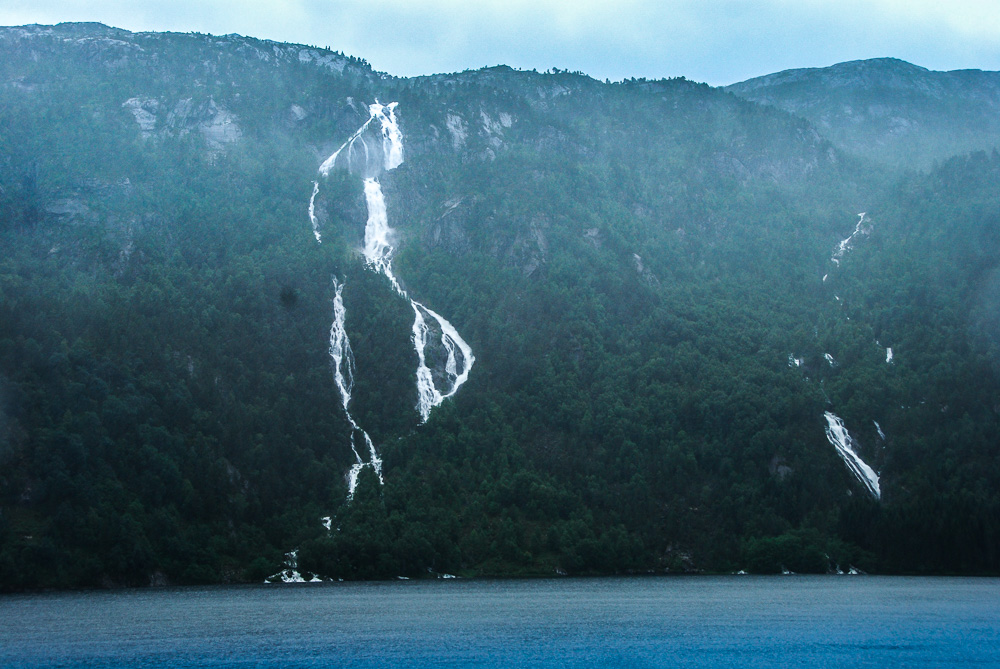
Sagfossen
Heading for the Langfoss you probably pass by a surprising great waterfall, the unofficial named Sagfossen. When driving from over road 134 from Skare to the Langfoss, you will notice the Sagfossen at the left of the road on the opposite side of a lake called Rullestadvatnet. This is nearly six kilometers before the Langfoss.
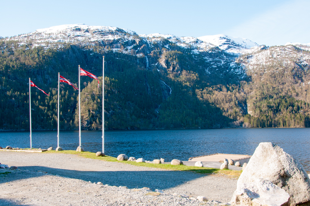
You will have a nice view on the Sagfossen from the reception at the camping site. The first two photo’s date from june, several years ago and the last photo’s from May 3th 2015, way to early to visit Norway for spotting waterfalls. Springtime began very late and there was harshly any melting water in the rivers. Best time to visit waterfall in Norway is from the beginning of june when the temperatures are rising and there is enough snow in the mountains.
Best visit the Sagfossen at midday. When photographing pictures are taking towards the south. Early in the morning and late in the afternoon the Sagfossen lies in the shadow.
The Sagfossen is a quite unknown waterfall but certainly one of the higher and more voluminous waterfalls in the area. The river Sagelva tumbles down from a plateau on an altitude of 1000-1300 meters. The total height of the fall is about 375 meters.
In the area there are several nice waterfalls like the Latefossen, Espelandsfoss, the Vidfoss and off cause the Langfoss. Actually to many to mention them all. This region is my all time favorite.